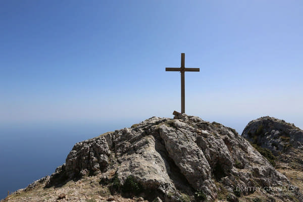
The name "Athos" has been used since ancient times. It originates from the ancient Greek mythology, which refers to the twelve gods of Olympus and suggests an early explanation of the creation of the world. In the war of the Giants, the leaders of the two opposite sides were Poseidon, representing the Olympian gods, and Athos (or Aphos). According to the most popular version of the myth, Athos threw a huge boulder at Poseidon but missed his target. The stone fell into the sea, forming the mountain with the same name. In another version, Poseidon threw the boulder, hitting the giant Athos with deadly accuracy. Epic poetry, among other sources, provides numerous references to the mountain. One notable description is the one of a journey of the goddess Hera:
«And Hera, after taking flight, left the peak of Olympus, flew over Pieria and her beloved Emathia, swept over the snowy mountains of Thrace and the edges of the peaks, without touching the ground with her feet. From Athos, she flew over the stormy sea and thus reached Lemnos, the city of the divine Phaeacians».
All the above demonstrate that during the pre-Christian era, the name "Athos" was closely connected to ancient beliefs about gods. Its history and origins are of great interest. The inhabitants of the area were devoted to the ancient Greek gods of Olympus, as well as to other Greek deities. According to the testimony of Hesychius of Alexandria, a 5th-century lexicographer, a massive statue of Zeus was placed at the mountain's summit, leading to the eventual use of the epithet "Athonian Zeus."
Additionally, the area was known for the catastrophic shipwreck suffered by the Persian fleet under the command of the General Mardonius. In 493 BC, the Persian King Darius I has sent to the peninsula of Athos a great number of ships, 300 of which sank off the coast, resulting in the loss of approximately 20,000 soldiers. Due to this disaster, the first Persian invasion of Greece was abandoned. A decade later, Xerxes, preparing his own campaign and determined to avoid each possibility of failure, ordered the construction of a canal. Builders from the region and Phoenician craftsmen worked on the project for three years. The fleet safely navigated the isthmus, which had a width equal to two ancient triremes, about 10 meters. Despite the many floods and natural phenomena that altered the landscape over the centuries, Xerxes' canal is still visible today between the villages of Nea Roda and Trypiti.
Regions of Athos
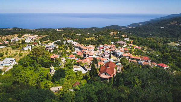
The regions of Mount Athos are recorded by ancient historians and geographers. The first reference comes from Herodotus, who mentions cities such as Dion, Olophyxus, Acrothoi, Cleonae, and Thyssos. Thucydides and other ancient historians provide a similar picture.
As for their geographical location, we lack sufficient data, and there is no consensus among modern historians. However, certain areas can be identified and have been matched to their present-day locations. Acanthus, for example, is thought to have been located where Ierissos is today. Sane, according to Herodotus and Thucydides, was outside Athos, at the isthmus on the western edge, where the village of Trypiti is now situated. It is not surprising that Sane is not mentioned in the Periplus of Scylax, as by the time the work was written, in the second half of the 4th century BC, the city had already been destroyed by Philip II of Macedon. However, it was rebuilt by Antipater in 315 BC and renamed Ouranoupolis. Today, a village with the same name exists in a close location, serving as the entrance of Mount Athos.
At first glance, it seems impossible for the seven cities to fit within the territory of Athos. Due to its high elevation and mountainous terrain, the region has limited water resources, small harbors, few fields and plains, making it unsuitable for the growth of numerous communities. The German historian Karl Beloch estimated accordingly that during the 5th century BC, the population of Athos should not have exceeded the 1,000 citizens. However, this seems far from reality, as Athos' communities have been greatly developed. If the population was so small, they would not have been able to maintain their political autonomy and participate in alliances on equal terms with other cities in Greece.
Although these areas were often ignored by ancient historians and geographers, we do have precise information regarding their economic activities and obligations to the treasury of the Delian League, in which they participated.
In 435 BC, the cities of Dion and Thyssos contributed to the treasury one talent each (approximately 5,000 drachmas), while the famous city of Olynthos paid as much as the two previous cities combined. Stageira paid only 1,000 drachmas, Olophyxos 2,000, and Cleonae 500. Consequently, each city would have needed a substantial population to maintain its social mechanisms, sustain special funds, public services, and the military. Therefore, the population of Athos would have had to reach at least 10,000. Additionally, the peninsula’s forests were likely less dense than they are today. Thus, it is estimated that the inhabitants had more cultivable land and pastures for their activities.
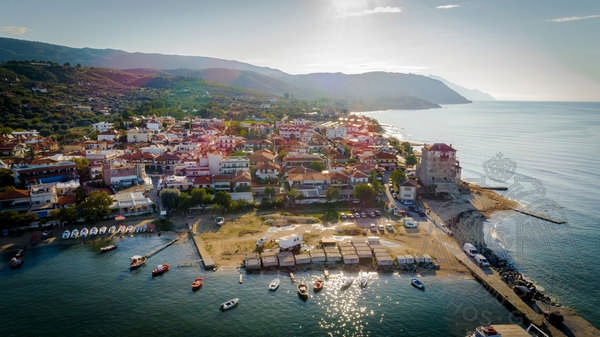
It also seems that the only area on the western side of the peninsula conducive to development, even of small settlements, is the region near the present-day Monasteries of Zografou and Xeropotamou. These areas are on the eastern side and have long been capable of supporting large groups of people. Other particularly suitable locations were those around the current Monasteries of Esphigmenou, Vatopaidiou, and Iviron, as well as the New Skete and the Monastery of Great Lavra. In these areas, objects of archaeological interest have been found, such as small burial monuments, inscribed stelae, statuettes of ancient Greek deities, coins, and potteries. However, systematic excavations have never been conducted, as scholars and archaeologists agree that the agricultural focus of the cities did not favor the creation of large monumental structures.
Regarding the disagreement among ancient Greek writers about the positions of the cities along the Athonite coast, this can be much more a coincidence than an actual argument. On such a narrow peninsula as Athos, it was easy and advantageous for each city-state to occupy territory stretching from one coast to the other, thus having fortifications on both sides of the peninsula.
Depending on the direction of travel, one writer could place a city on the eastern side, while another could describe it on the western side. Based on this hypothesis, and according to the amount that each city had to paid to the treasury of the Delian League, they must have occupied a significant area. The most realistic description of the regions is considered to be that of Scylax.
Dion was the first city on the side of the isthmus, founded at the site of today's Monastery of Esphigmenou and the arsanas (port) of the Monastery of Hilandar. The small number of archaeological finds in the area is explained by the floods and landslides mentioned in historical sources. Dion was the largest city on the peninsula.
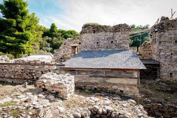
To the south, Dion bordered Thyssos, whose territory extended to the area of the present-day Monastery of Pantokratoros to the east and the Monastery of Xenophontos to the west. The city was founded at the site of today’s Monastery of Vatopaidi. Among other finds, figurines of ancient deities and two marble sarcophagi were discovered.
Since Scylax began his journey from the west, noting the cities of Zeus and Thyssos, even though both extended to the eastern side of the peninsula, we can safely say that the next city he encountered was Cleonae. Cleonae was located at the site of today’s Monastery of Xeropotamou. This city was smaller in area, reaching only to the foothills of the mountain.
At the tip of the peninsula, in the area of the Skete of Saint Anne, numerous archaeological finds have been discovered. Among them, there was a relief inscribed stele awarding honorary citizenship to Dorotheos, son of Myrmikas, and a citizen of Alexandria, in the city of Acrothoi.
In the same location was the Monastery of the Vouleutiria, whose name was established before 1010 AD and is a direct reference to the "Vouleutirion," an ancient Greek amphitheater intended for public gatherings. Despite the peculiar terrain, the relatively mild climate of the area favored the survival of local populations. The archeological findings prove that the city of Acrothoi had well-developed urban infrastructure.
Regarding the name "Athos," which is mentioned both by Scylax and Ptolemy as the toponym of a specific city, it is suggested that it would have been located in the area of today’s Monastery of Great Lavra or in Kerasia.
The descriptions of Scylax continue with references to the city of Charadros, located in the area of the old Monastery of Amalfinon.
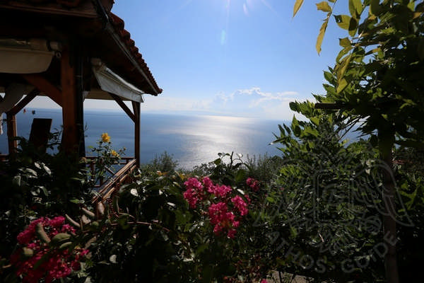 The last city in Scylax's account is Olophyxos, which lies in the territory of today’s Monastery of Iviron, extending up to the Monastery of Pantokrator and above Karyes. Olophyxos was smaller than Thyssos but larger than its western neighbor, Cleonae.
The Social Structure of the Ancient Cities of Mount Athos
Some information about the social structure of the ancient cities can be gleaned from the current structure of Mount Athos, with its monasteries being surrounded by walls and the existence of scattered cells. The inhabitants lived in agrarian communities, worked in pastures, and cultivated small or large gardens, much like today's hermits. In the central part of the city, there were public spaces, the market, the council, and the temple, where citizens gathered to worship their gods, discuss their problems, trade the products they produced, and regulate various aspects of their social life. The inhabitants of Athos were well known for their longevity. Indeed, there are sources mentioning that they lived up to 130 years.
The autonomous Athonian cities became part of Philip's kingdom in 368 BC. After this event, a story was spread regarding the relation of Alexander the Great with the peninsula of Athos. An architect, referred to as Stasicrates by Plutarch and Deinocrates by Strabo, proposed to Alexander the idea of erecting a statue of him at the summit of Mount Athos, claiming it was the most suitable location for such a monument. According to the plan, Alexander would hold a fortified city in one hand and a river overflowing with force in the other. However, Alexander was not enthusiastic about the idea. He also did not want to mimic his unworthy predecessor, Xerxes, and therefore rejected the proposal outright, abandoning Athos. Thus, the area ceased to suffer from the arrogance of the previous generations. The peace and serenity of the natural landscape were restored.
In 168 BC, Athos, along with the rest of Macedonia, came under the Roman rule, while during the 4th century AD, it became part of the Byzantine Empire, which succeeded the Roman Empire during the Greco-Christian transformation. During this period, from the 2nd century BC to the 8th century AD, Athos once again went unnoticed by historians, as often happens with small and poor regional locations that live under a broader authority. To reappear in history, it would have had to become a commercial or military hub, which never happened to Mount Athos. Another reason that could have made these areas significant was the development of an impressive cultural character, which occurred only during the 8th century AD.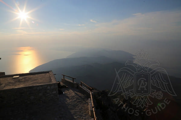
Although we do not have clear evidence about the spread of Christianity in the wider area, it is obvious that the inhabitants of Ouranoupolis, near the isthmus, introduced the new religion to the rest of the peninsula's cities. The close contact they had with nearby cities such as Amphipolis, Apollonia, and Thessaloniki, where Christianity was adopted as early as the time of the Apostle Paul, highlights the strong influence that the local population likely received. The complete Christianization of the peninsula was accomplished in the 4th and 5th centuries AD.
The census of the cities of Mount Athos was conducted by Byzantine historian Stephanus in the 6th century. There is a theory that during this period, Athos was completely deserted and uninhabited. The scholar listed the ancient cities based on already known geographical records available at that time. However, Thyssos and Cleonae are entirely absent from his list.

