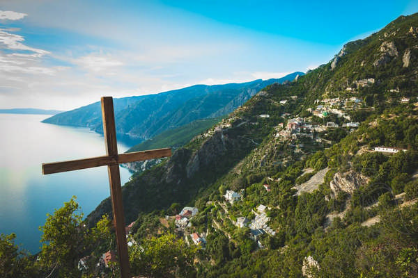
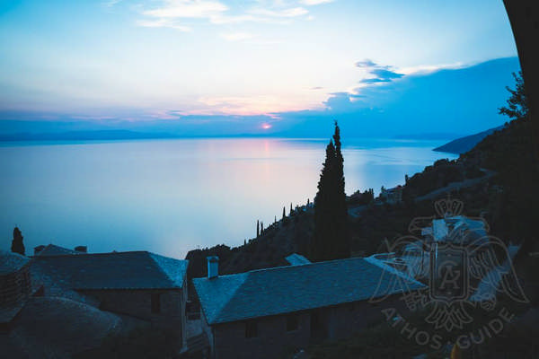
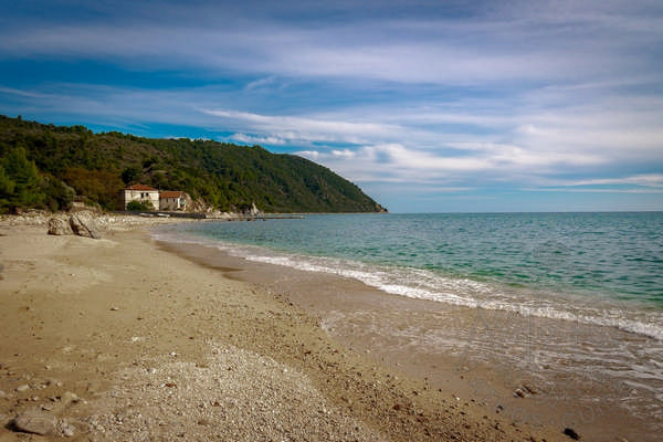
Throughout its long history, Mount Athos has been a great attraction for generations of people. It mainly captured interest as a place of mental exercise, while it has also been famous for its inspiring and exceptional location. The dense forests, the mountains with their impregnable granite peaks, the coasts with their intricately shaped shores into which the foaming sea penetrates, the refined valleys with their steep cliffs and the tall towers with their maze of monastic buildings, all contribute to the creation of one of the most fascinating landscapes in the world.
Where is Mount Athos Located?
The three peninsulas of Chalkidiki are well known to all Greek and foreign visitors. Each of them enters the Aegean Sea as a narrow arc, Kassandra in the west, Sithonia in the middle and Mount Athos in the east. The world's unique monastic state has been located there since ancient times, when it was called Coast (Ακτή - Akti). The name Athos originally referred to the giant rock crowning the highest point of the peninsula. Over the centuries the name spread all throughout the area, which retains its name to this day. The monastic population created here a peculiar community with its own rules and internal organization, which came to be known as Mount Athos. The name was first mentioned by Saint Athanasios the Athonite in a canon of 970, where he mentions the place as “the Holy Mountain".
Geography of Mount Athos
One enters the peninsula by a narrow isthmus that separates the bay of Ierissos from the Singitic Gulf. Today this boundary extends southwards, along a conventional line drawn from the southeastern basin of the Bay of Ierissos, through Great Vigla and Frangokastro. Apparently, this boundary line has not changed since it was drawn more than 1070 years ago, in 942. The peninsula is 47 kilometers long and 5 to 10 kilometers wide, covering an area of 322 square kilometers.
This isthmus still bears traces of the Xerxes Canal, also referred to as Provlakas. Here begins a gentle ascent of the landscape, which gradually rises to the Great Vigla. From then on, the peninsula widens, initially in an easterly direction and then in the south. The morphology of Mount Athos resembles a fish skeleton from above.
From Great Vigla extends the elongated and relatively gentle mountain range of Zygos, reaching the narrowing between the ports of the Holy Monastery of Vatopaidi and the Holy Monastery of Konstamonitou. At this point the terrain becomes more mountainous and forms numerous peaks, the most important of which are Kryovounio and Adiathon, as well as multiple canyons and ravines. The main mountain, Mount Athos, rises steeply and almost vertically, with its highest point at 2,033 meters above sea level. To the south, the slope decreases significantly, forming Mount Karmilio, which appears just above the sea.
Geological faults can be seen on both sides of the peninsula, creating a heterogeneous mountain landscape with steep slopes, deep gorges and massive cliffs. The sharply defined coastline, with its varied coasts formed by streams and creeks, facilitates access by boat to monasteries and hermitages. These small ports in Mount Athos are called 'arsanas'.
The centuries-long ban on grazing has prevented soil erosion and encouraged the growth of dense forests of oaks, chestnuts, pines and others, as well as a variety of shrubs that make the area even more inaccessible. The narrow valleys of the eastern part of the peninsula are used to moderate agricultural cultivation. The abundance and diversity of the flora of Mount Athos has made it famous as a unique "botanical paradise".

The northeastern coast of the peninsula, facing the Aegean Sea, has a fairly flat surface despite the variety of landscapes. Starting from its northernmost point, the coast of Ierissos, the coastline continues northwards to Cape Arapi, from which it descends southwards and curves gently towards the south-east, forming two small coasts. The first is the pier of the Monastery of Hilandar and the second the one of the Monastery of Esfigmenos. Between the two capes of Saint Luke and Chalkias, in the bosom of Kalamitsi Bay, there is the monastery of Vatopedi with its pier, the hermitage of Saint Demetrios, as well as other cells and kalyves. The coastline continues southeast until it reaches a point known as Akrothoon or Nymphaeum (Ακρόθωον or Νυμφαίο), near which there is a dense concentration of monastic buildings due to the attractive landscape. To the west of the Monastery of Pantokrator there is the hermitage of Prophet Elijah, while to the northwest there is the hermitage of Bogoroditsa. Next is the Monastery of Stavronikita and the valley of Kapsala, the Monastery of Iviron with the sketes of Prodromos and Saint Panteleimon, while 230 meters above sea level there is the capital of Mount Athos, Karyes. To the north of the capital there is the hermitage of Saint Andrew, while to the southeast there is the Monastery of Koutloumousiou. To the southeast there is also the Monastery of Philotheou and a little further down the Monastery of Karakallou. A large number of scattered cells and kalyves are also found in the area.
Continuing in the south, one can notice the tower of the abandoned monastery of Amalphinon and the pier of the Great Lavra Monastery. The monastery itself was founded higher up, on a spacious plateau.
On this side of the peninsula there are winds that blow with incredible force. Most of the time in winter this area remains impregnable. The winds blow in the northern part of Mount Athos and return through the gorges and crevasses, gaining devastating speed. Moving miles out to sea, they cause storms with huge waves. Despite these adverse climatic conditions, one of the oldest monasteries on Mount Athos, the Monastery of Great Lavra, has stood and flourished for centuries on one of the small plateaus in this part of the peninsula.
The southwestern side, facing the Singitic Gulf, is exposed only to the southeastern winds, which, however, have very little effect on the coasts of Saint Anna and Daphne. The climate in this part of the peninsula is much milder and the sea traffic is rarely interrupted. However, the morphology of the terrain is more tense and irregular in this part of the monastic state.
The border of the monastic state with the rest of Chalkidiki is set on the east of Ouranoupoli, near Frangokastro. The coastline, initially rocky and steep, is suddenly replaced by bigger and shorter bays. The first of them contains the piers of the Monasteries of Zografou and Konstamonitou, which are indistinguishable from the sea, followed by the monasteries of Docheiariou, Xenophontos and the hermitage of the Annunciation, which dominates the view.
The second bay is occupied by the magnificent buildings of the Monastery of Sain Panteleimon, the sketes of which are set on the opposite side. Right next to them, there is the main port of Athos, Daphne, above which there is the Monastery of Xeropotamou.
After the port of Daphne, the coastal landscape changes dramatically, turning the water's edge into an impregnable fortress. Four monasteries overlook the sea at the top of the cliff. To the southeast of the monastery of Saint Paul there is the so-called New Skete, while to the north there is the skete of Saint Demetrios Lakkos.
Beyond the New Skete begins a completely different area, where the majestic pyramid of Mount Athos stands out in all its greatness. The entire coastline here is overrun by wild animals and appears impenetrable. That is why it is also known as a deserted spot. Nevertheless, in this place there are certain settlements of monks who live under strict regulations, as the hermitage of Saint Anna, the Little Saint Anna’ s skete, Karoulia, Katounakia, Kerasia, where the ascent to the top begins, the settlement of Saint Basil, the hermitage of Kausokalyvia and the hermitage of the Forerunner. The area also hosts separate huts and cells outside the settlements.
